Where everything on this site came from
Every photograph here is either Creative Commons or in the public domain, and every photograph is credited to the person who made it. Every local detail links back to the source it was taken from. This page is the full list.
Photography
Image credits
All photographs are used under the licence shown, with the photographer credited and linked to their original page on Wikimedia Commons. Files are resized for the web; the originals are unmodified in substance.
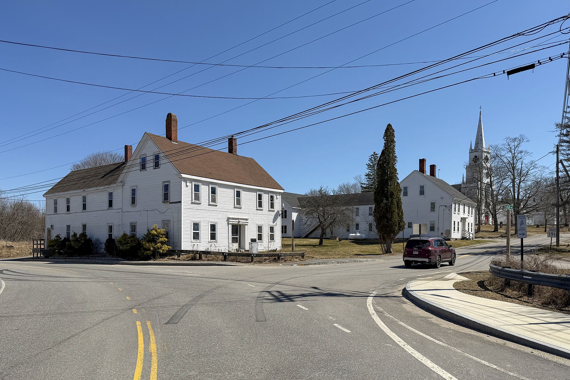
East Machias, Maine
Quintin Soloviev · CC BY 4.0
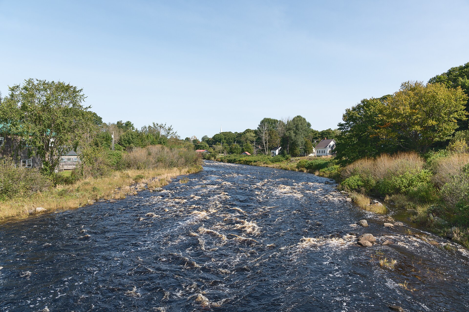
East Machias River
Giorgio Galeotti · CC BY-SA 4.0
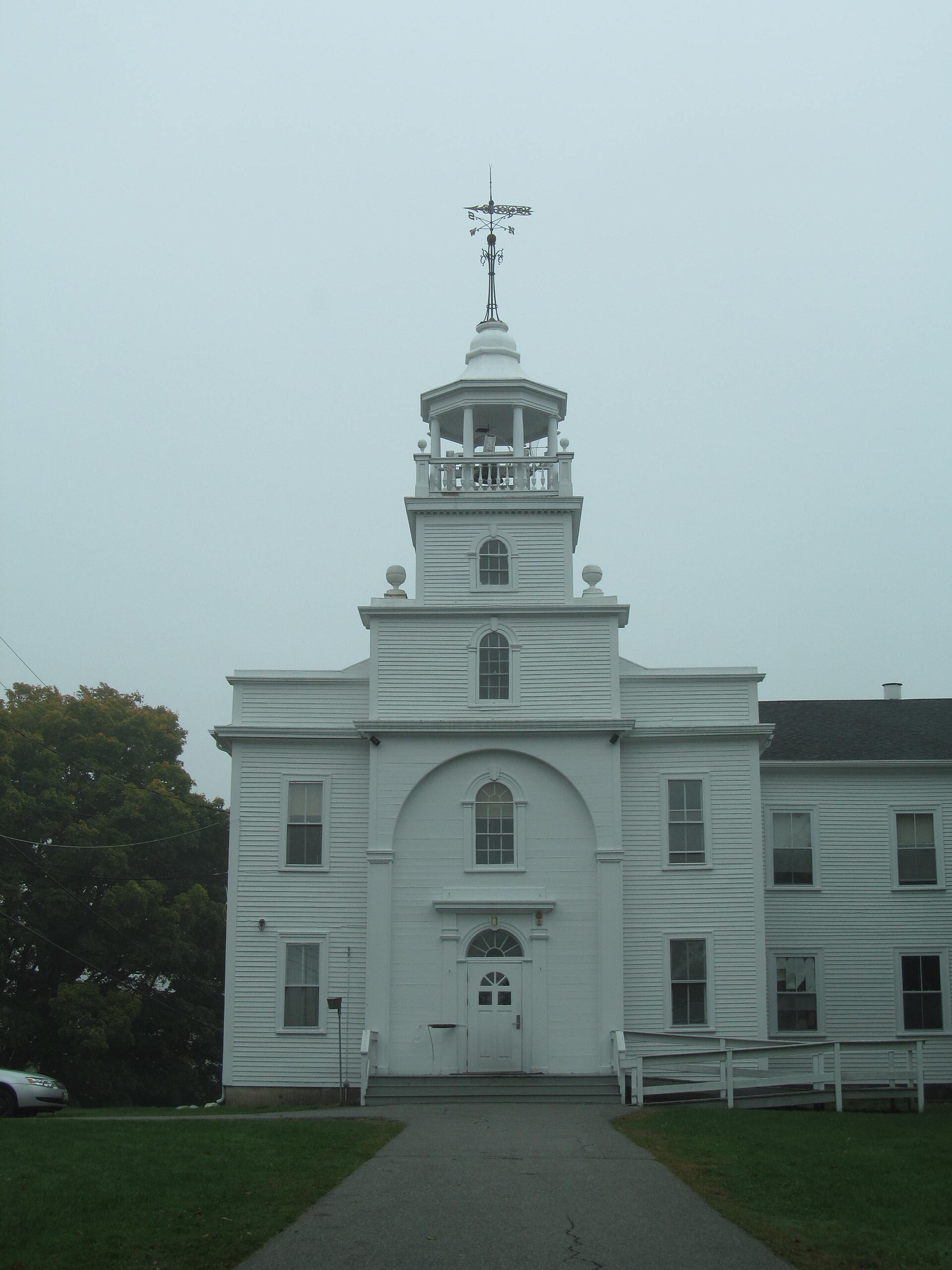
Washington Academy
Doug Kerr · CC BY-SA 2.0
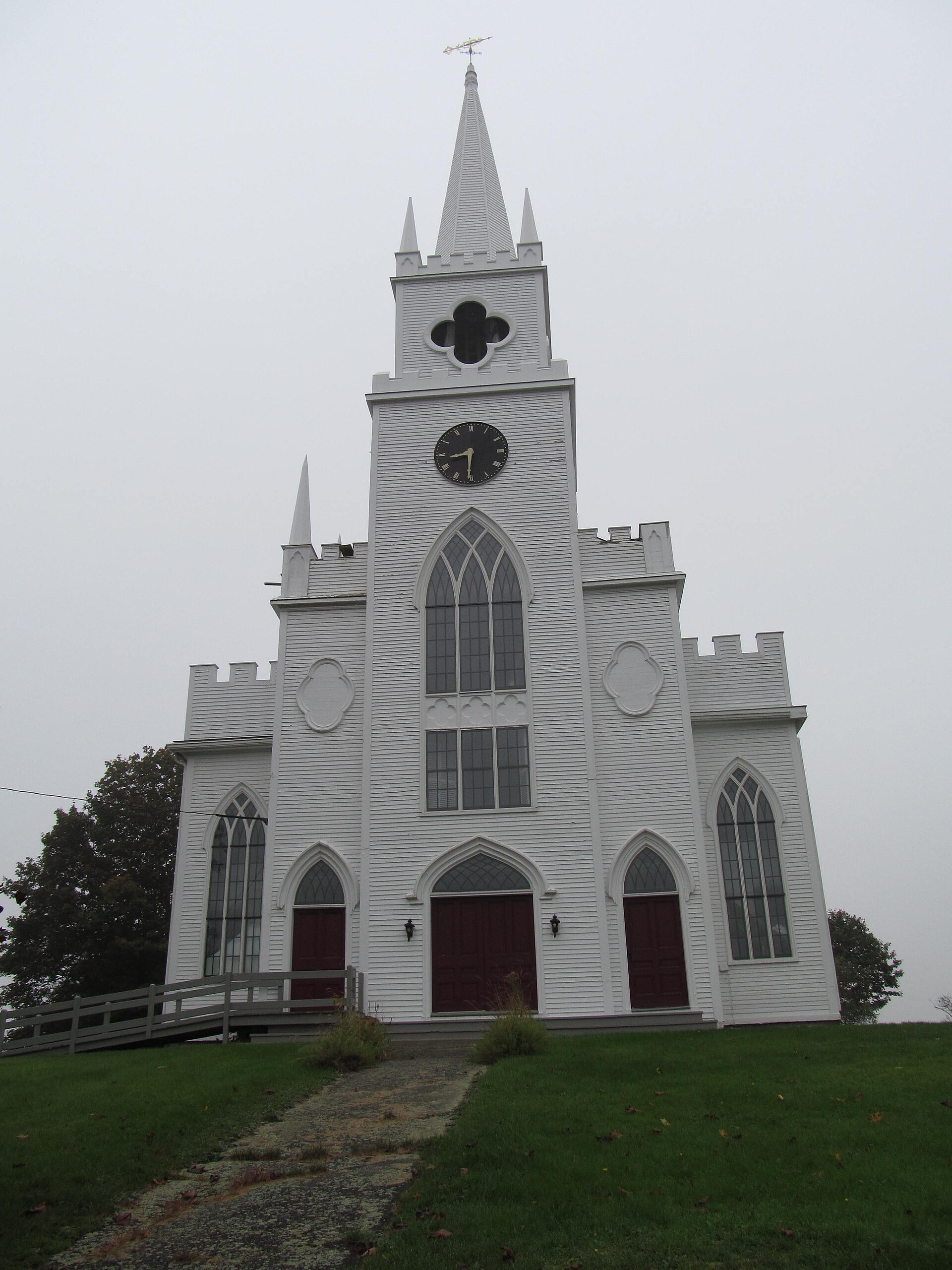
First Congregational Church
Doug Kerr · CC BY-SA 2.0
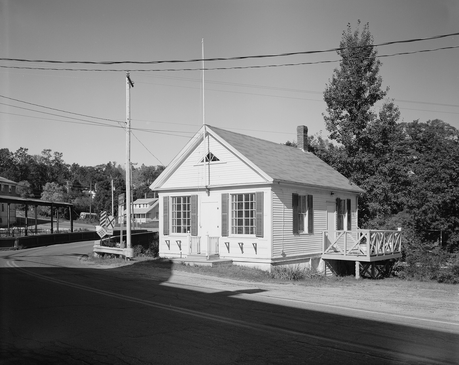
East Machias Post Office
Brian Vanden Brink · Public domain
HABS, Library of Congress
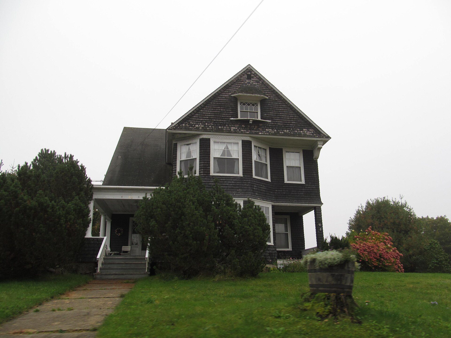
East Machias, Maine
Doug Kerr · CC BY-SA 2.0
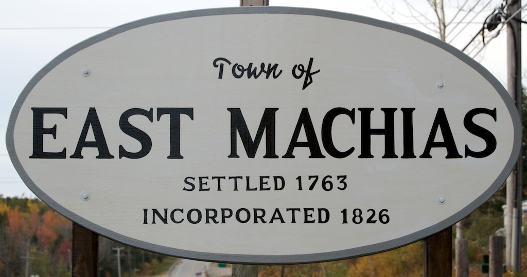
East Machias (3080798570)
Peat Bakke · CC BY 2.0
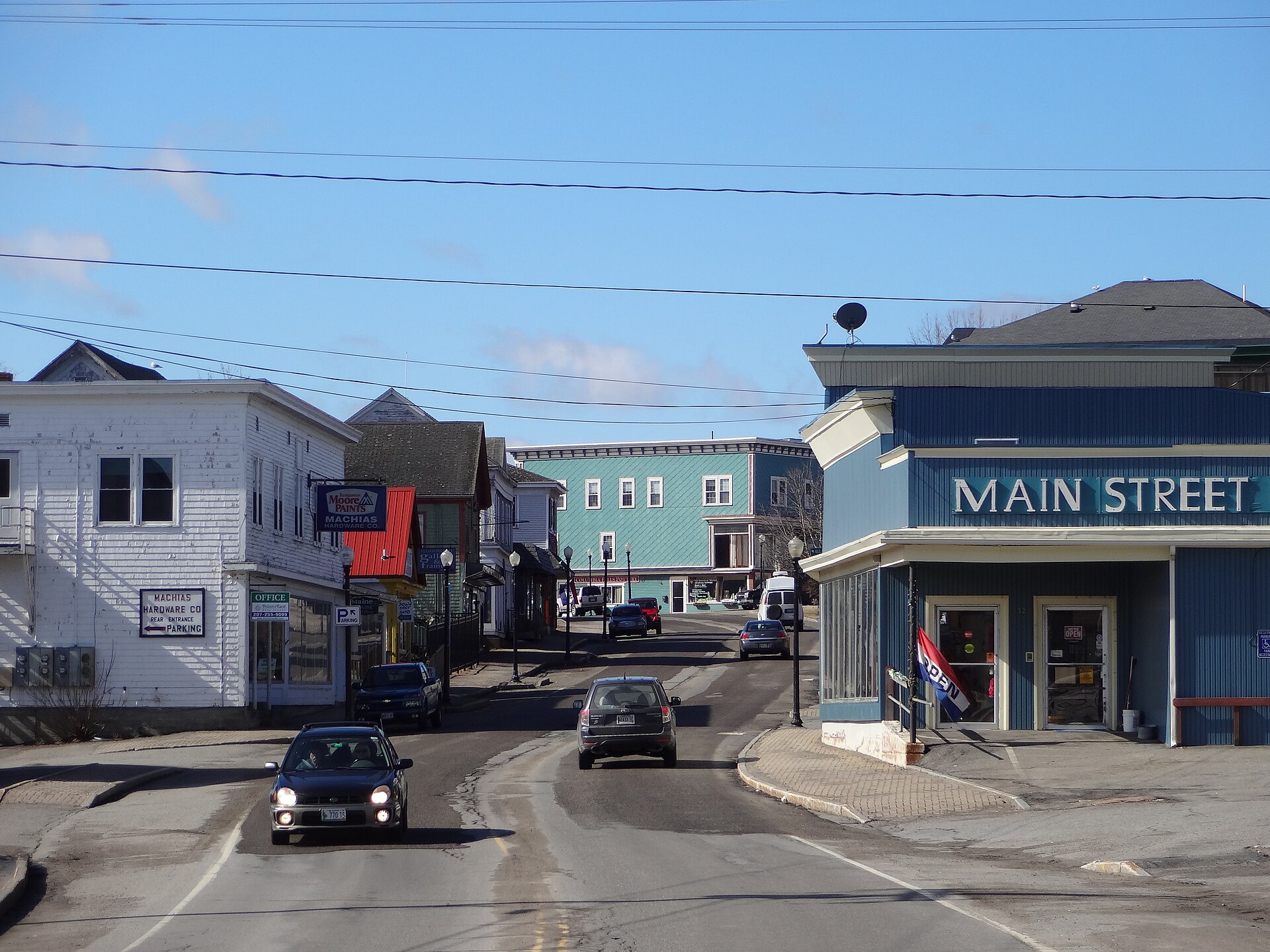
Main Street, Machias, Maine
Zedmaster375 · CC BY-SA 3.0
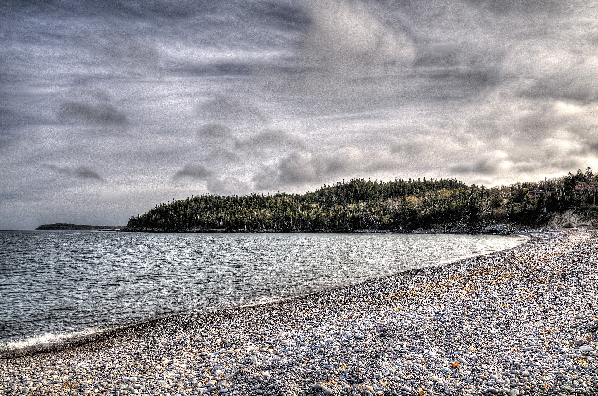
Jasper Beach, Machiasport
Kim Carpenter · CC BY 2.0
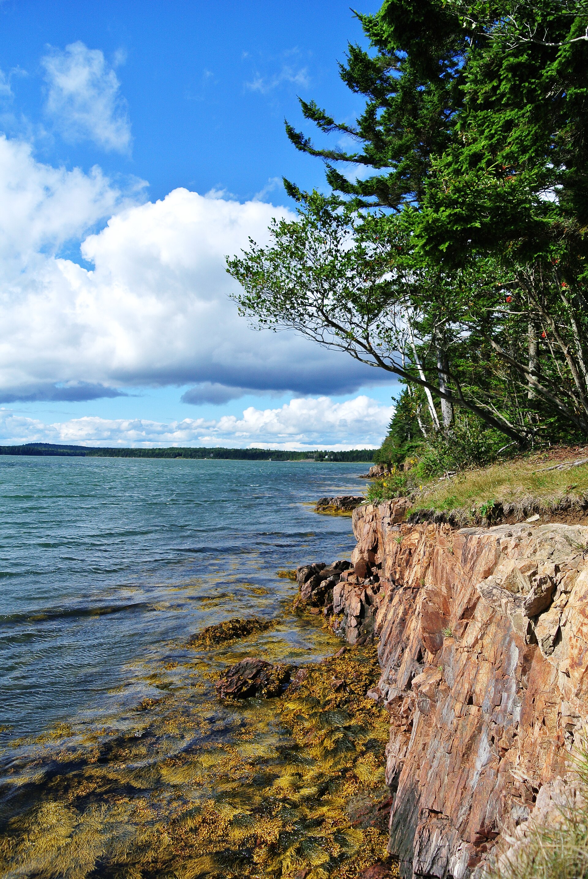
Roque Bluffs State Park
due_mele · CC BY 2.0
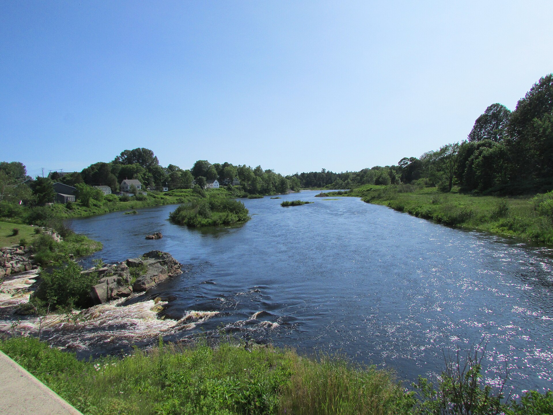
Machias River at Bad Little Falls
DrStew82 · CC BY-SA 4.0
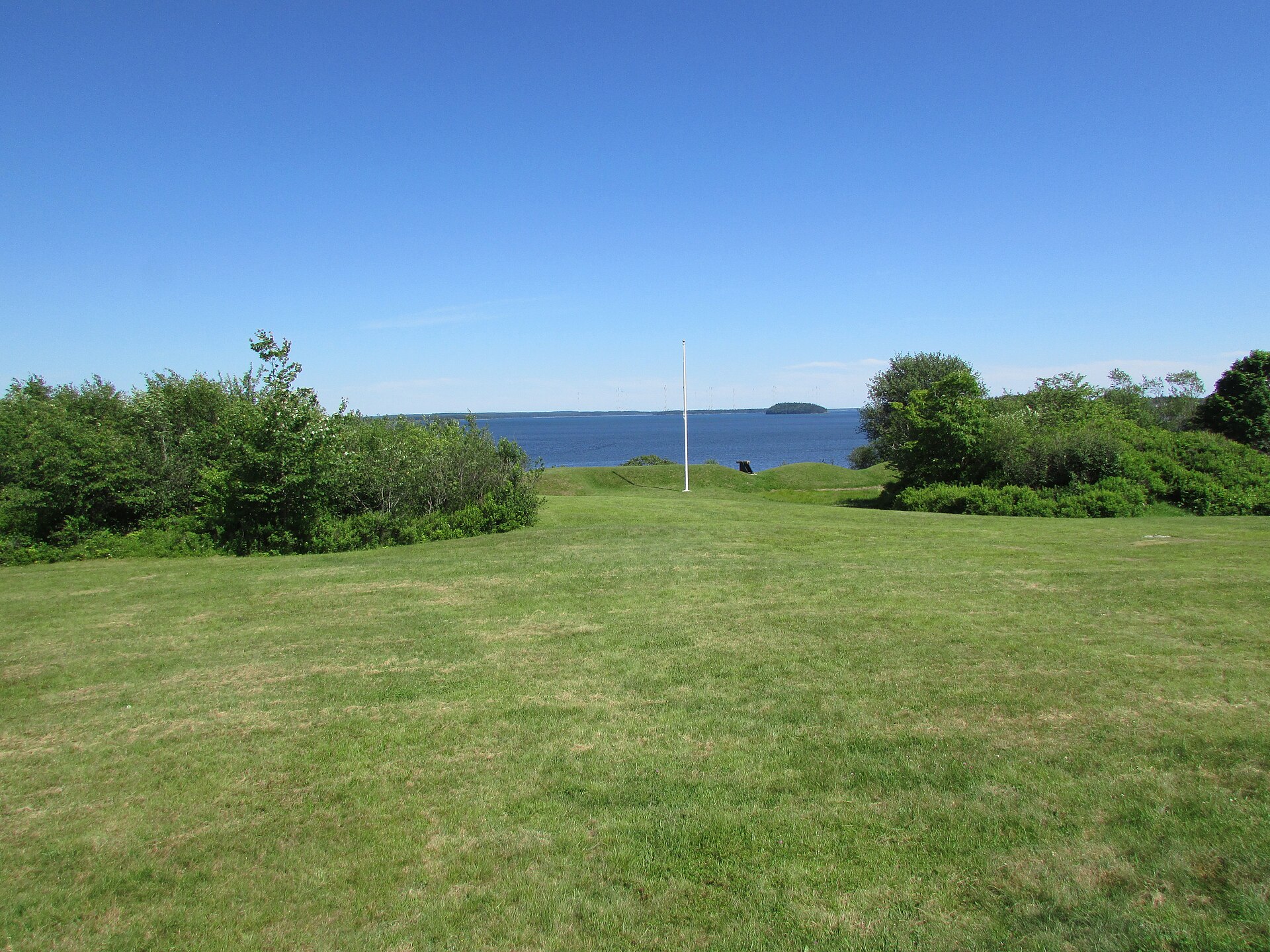
Fort O'Brien
DrStew82 · CC BY-SA 4.0
assets/IMAGE-CREDITS.txt.
Information
Where the local details come from
Facts about addresses, phone numbers, hours and history were checked against these sources.
Official and governmental
- Maine Secretary of State — East Machias municipal record ↗ (clerk, address, phone, fax)
- Town of Machias ↗ (county-adjacent services, public works, police, fire, transfer station)
- Washington County, Maine ↗ (sheriff, courthouse, commissioners, events)
- Washington County Resource Guide ↗ (clinics, health and family services)
- National Register of Historic Places ↗ (East Machias Historic District, NRHP 73000153)
- Maine Bureau of Parks and Lands ↗ (Fort O'Brien, Roque Bluffs State Park)
- U.S. Census Bureau ↗ (2020 population figures)
- Down East Community Hospital ↗ and Regional Medical Center ↗ (clinics and emergency department)
Tourism, regional and community
- Undiscovered Maine — Machias ↗ (dining, lodging, shops and activities listings)
- DownEast Acadia Regional Tourism — Machias Bay ↗ (villages, events, history)
- Visit Lubec Maine — East Machias ↗
- Machias Bay Area Chamber of Commerce ↗ (festivals and events)
- Downeast Salmon Federation ↗ (East Machias Aquatic Research Center)
- Down East Sunrise Trail ↗
- Maine Coast Heritage Trust ↗ (Long Point Preserve)
- Margaretta Days ↗, Machias Wild Blueberry Festival ↗, Farmer Fest ↗
How distances were calculated
The distances on the nearby towns page are great-circle (straight-line) distances computed from the East Machias village centre at 44.7364° N, 67.3892° W to the approximate centre of each town. They are a useful measure of how far away a place is, but real road mileage and drive time will be longer — generally by 10–15%. They are not navigational distances.
Third parties
Services this site talks to
Only two, and only for the two features that cannot be done locally.
Open-Meteo
The forecast card on the home page requests current conditions and a five-day outlook from the free, key-free Open-Meteo API, using coordinates for East Machias. No account, no tracking, no cookies.
If the request fails, the card shows a link to the National Weather Service forecast instead.
OpenStreetMap
The map panels are embedded OpenStreetMap views. The tiles are served by OpenStreetMap infrastructure; loading a map therefore reveals your IP address and browser details to them in the ordinary way.
Every map also has a plain "open the full map" link, so nothing depends on the embed working.
Everything else
Fonts are your system's own — no web fonts are downloaded. Images are served from this site. There is no analytics service, no tag manager, no advertising network, no social widget, no email-tracking pixel and no chat bot. The privacy policy covers this in more detail.