EastMachias.com · An independent visitor's guide to East Machias & the Bold Coast · Not an official town website

Every town within an hour of the front door

East Machias sits in the middle of a remarkable stretch of Dow East Maine — granite harbours, working waterfronts, a national scenic byway and the last lighthouse before Canada. Here is what is out there, and how far.

Machiasport 2.7 mi Fort O'Brien · Jasper Beach
Machias 4.8 mi County seat · all services
Eastport 16.5 mi Most easterly lighthouse
Lubec 21.8 mi Where the sun first rises

Approximate straight-line distances from the East Machias village centre. Road mileage is a little longer; allow 10–15% more.

Under 10 minutes

The closest towns

These are all effectively neighbours. Several are close enough to walk or bike in good weather.

Machiasport 2.7 mi

Head east on Cutler Road and you are there in five minutes.

The small working harbour at the mouth of the East Machias River, and the closest thing to real maritime Maine that you can reach from the village.

  • Fort O'Brien State Historic Site — the earthworks above the bay mark the first naval battle of the American Revolution.
  • Jasper Beach — the "singing beach" of polished, coloured pebbles.
  • Gates House and the Machiasport Historical Society.
  • Long Point Preserve — a 1.7-mile loop for seals, eagles and osprey.
  • Ferry terminal for trips to Campobello Island and Canada.
See outdoor listings ↗

Machias 4.8 mi

South on US Route 1 — the service hub of the area.

The Washington County seat, and the town that fills in almost every gap in East Machias' own offer: hospital, sheriff's office, county courthouse, library, college, most of the shops and most of the restaurants.

  • Burnham Tavern Museum — a National Historic Site, built 1770.
  • Bad Little Falls Park — the falls that gave "Machias" its name.
  • Porter Memorial Library and the University of Maine at Machias.
  • Washington County Courthouse Heritage Center Museum and genealogy room.
  • Machias Historic Railroad Station (1898) — site of the Harvest Fair.

See dining listings ↗

Whiting 4.8 mi

Just west of Machias on Route 1.

A small farming and shoreline community between East Machias and Machias, with the historic Union Meeting House and the old Whiting Bay road toward Cutler.

  • Union Meeting House — a historic 19th-century meeting house, on the National Register.
  • Whiting Bay Family Medicine — 125 US-1, (207) 733-2900.
  • Gateway to the Cutler coast road.

Columbia Falls 5.4 mi

North-east on the Cutler Road.

A quiet village on the Pleasant River system, best known for its pottery and its old country store. A good place to slow down for an hour.

  • Columbia Falls Pottery — handmade, hand-painted, open Monday to Saturday.
  • Columbia House and the Union Church, both on the National Register.
  • Direct access to the Rocky Lake Public Lands to the north.

Cutler 5.5 mi

East on Route 191 toward the head of the bay.

A small fishing village with a working harbour and marina at the head of Cutler Bay, where the road from East Machias meets the water.

  • Cutler Harbour and marina — boat launches, moorings and a working fishing fleet.
  • Short, quiet fishing and kayaking; good views of the Narraguagus River.
  • Roads to Rockwood and the Petit Manan area further up the coast.

Jonesboro 9.6 mi

North-west on the Jonesboro Road.

A village on the Middle River with two remarkable 19th-century civic buildings and the start of the scenic run down toward Jonesport.

  • Jonesboro Grange No. 357 — a National Register landmark hall.
  • Jonesboro Union Church — also on the National Register.
  • The scenic byway road down to Jonesport and Beals Island.

Under half an hour

Worth the extra miles

Still easy day trips, but far enough to feel like a different place.

10.6miles

Marshfield

A beautiful setting on the Middle River, home to a maple producer and a sea salt maker offering free tours through the season.

Salt & mapleRiver
Map ↗
12.4miles

Columbia (Harrington)

The long narrow finger of land pointing south into Englishman's Bay, with the historic Columbia Falls village and a working lobster fleet.

Working waterfront
Map ↗
13.0miles

Roque Bluffs

One of the most unusual beaches on the Maine coast — a crescent of sand and pebbles backed by a shallow freshwater pond — plus a working wild blueberry farm.

State parkBlueberries
Details ↗

About an hour

The Bold Coast, properly

US Route 1 turns south through here and runs the length of the Bold Coast National Scenic Byway. This is the stretch people come for.

Eastport 16.5 mi

A granite harbour town on the Canadian border, built on a steep hillside of pink granite, with a long commercial history in lumber and shipping. The view from the town toward Grand Manan across the channel is one of the best on the coast of Maine.

  • West Quoddy Head Light — the most easterly lighthouse in the United States, and the eastern end of the Bold Coast Byway.
  • Reversing Falls Park — the tide racing through the narrows is genuinely dramatic.
  • Central Congregational Church and the Eastport Historic District.
  • Border crossing to Canada, plus Campobello Island and Campobello Island State Park.

Cherryfield 19.5 mi

The last real town before the border road, with a National Register historic district, the old Cherryfield Academy, and the best of the wild blueberry country around it.

Pembroke 15.8 mi

North on Route 1, where the Down East Sunrise Trail ends and the roads turn toward the upper bay and Brewer.

See historic listings ↗

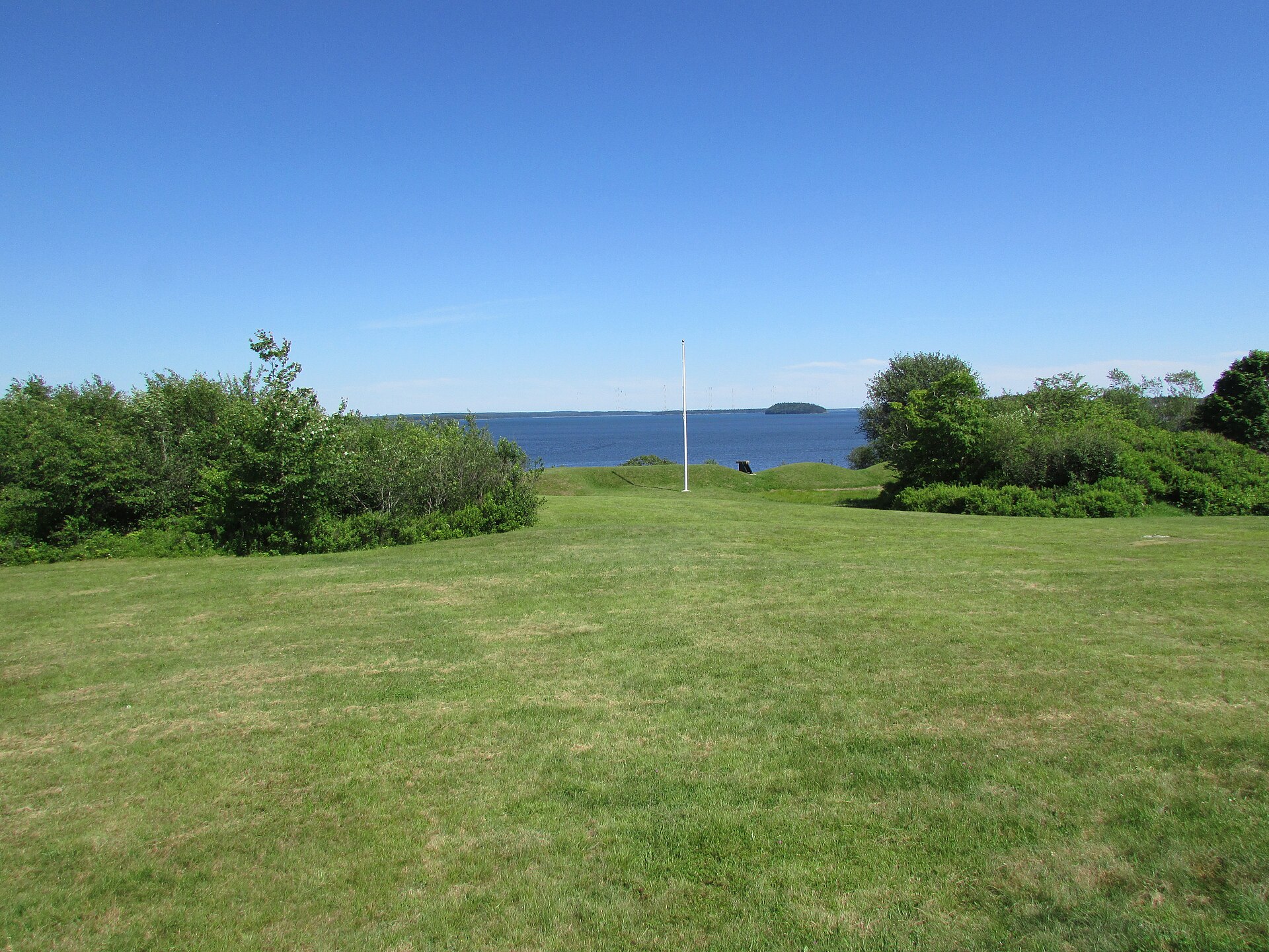
Stone earthworks of Fort O'Brien on the bluff above Machias Bay

On the border

Where Maine becomes Canada

Beyond Eastport the road runs straight at the international border. Bring a passport if you want to keep going.

21.8miles

Lubec

Where the sun first rises in Maine. Roosevelt Beach, the Lubec Channel Light, and the village that gives its name to the easternmost point in the country.

SunriseLighthouses
Map ↗
27.4miles

Jonesport

A working fishing village on Jones Bay, gateway to Beals Island and the small communities of the far Downeast.

FishingIslands
Map ↗
31.7miles

Calais

The twin border town, connected to St. Stephen, New Brunswick by the international bridge, with the ferry to Campobello Island nearby.

BridgeFerry
Map ↗

Sample routes

Three days that start from the village

Loose itineraries built around what is close by. Adjust for the season and for what you like to do.

Half day · 25 miles

History walk

Start in the East Machias historic district on Main Street, walk the mill sites along the river, then take Cutler Road to Fort O'Brien and on to the Gates House in Machiasport. Finish with the Long Point Preserve loop.

Walk · drive · 3–4 hours
Full day · 60 miles

The Bold Coast run

East Machias to Machiasport and the beaches, then south on Route 1 to Jonesboro, Roque Bluffs and Eastport for the lighthouse and the granite harbour. Stay for dinner in Machias on the way home.

Drive · 6–8 hours with stops
Long weekend · 150 miles

To the border and back

Follow the coast to Cherryfield and Eastport, cross to Campobello Island if you have a passport, and take in the sunrise from Lubec or Jonesport before returning via the Cutler coast road.

Drive · 2–3 days

Orient yourself

The area on a map

East Machias, with Machias Bay to the south-east and the towns along the coast road.

Open the full interactive map