Photos of the village, the river and the coast
Everything on this page was taken within about half an hour of the East Machias village centre. All photographs are Creative Commons or public domain, credited to the photographer who made them — full attribution is on the credits page.
In the village
Historic East Machias
The village is the thing. Federal and Greek Revival houses, a white steeple, the old academy and a river running past all of it.
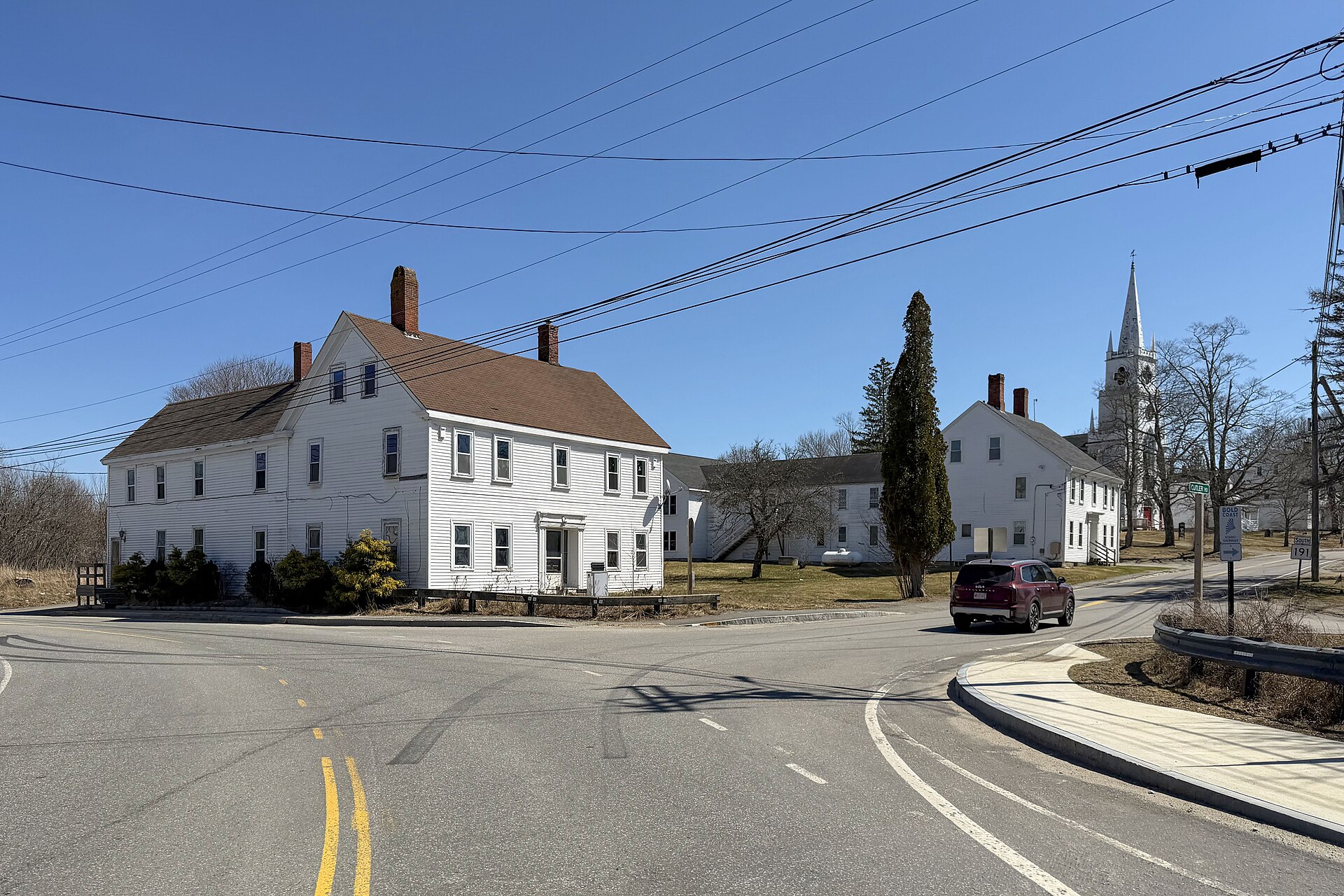
The village green
Looking down from the Route 1 and Route 191 junction, with the white church steeple rising behind the houses on Main Street.
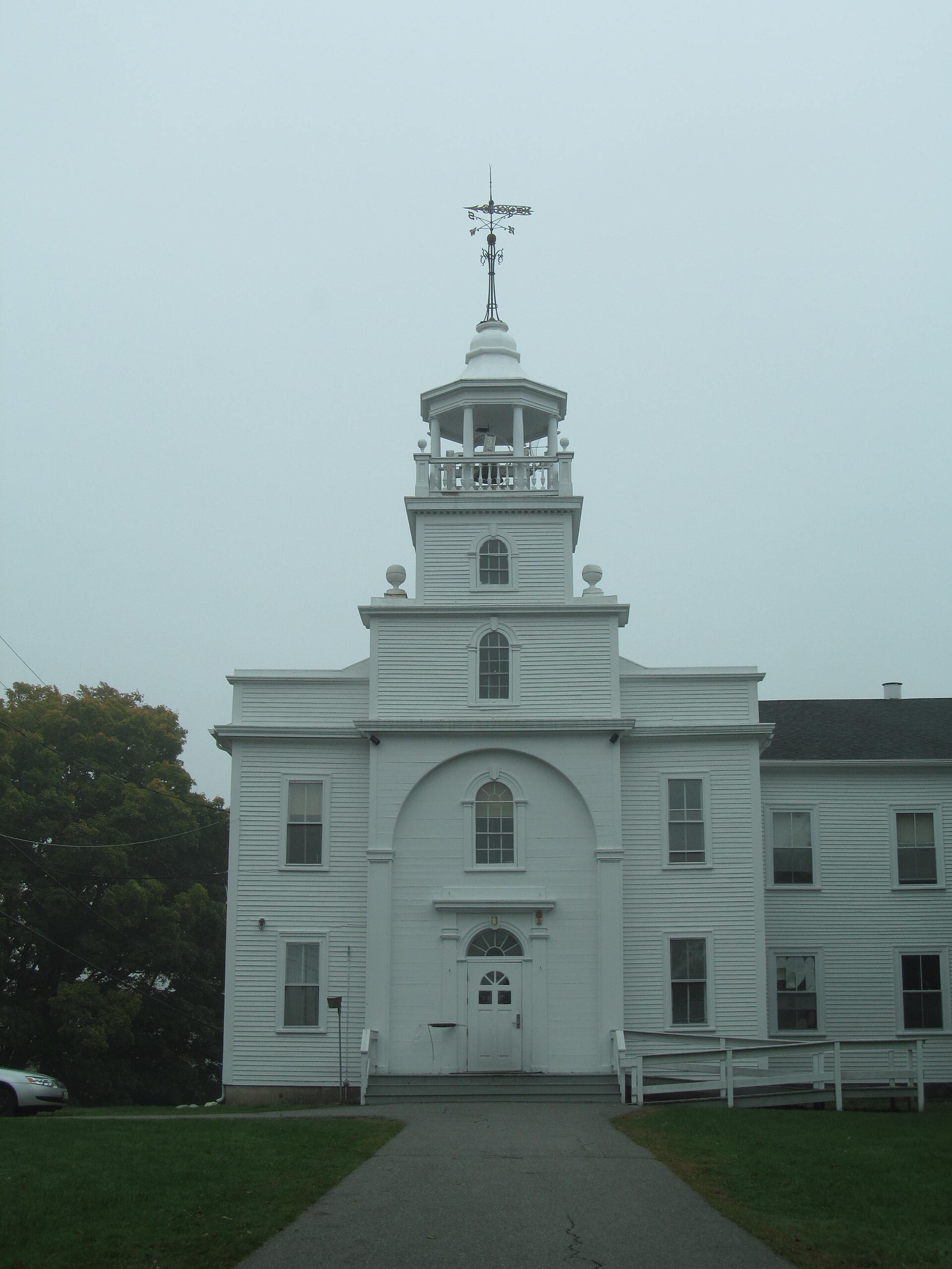
Washington Academy
The academy building, founded in 1792 and given this permanent home in 1823. One of the oldest continuously operating independent schools in the country.
Doug Kerr · CC BY-SA 2.0 · Source ↗
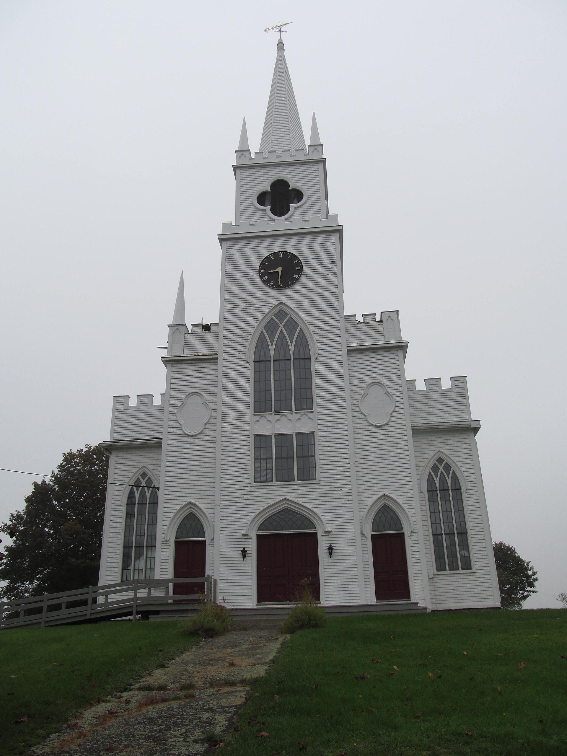
The First Congregational Church
Built in 1836, the white building with the tall steeple at the top of Main Street. It is the first thing you see coming in from the south.
Doug Kerr · CC BY-SA 2.0 · Source ↗
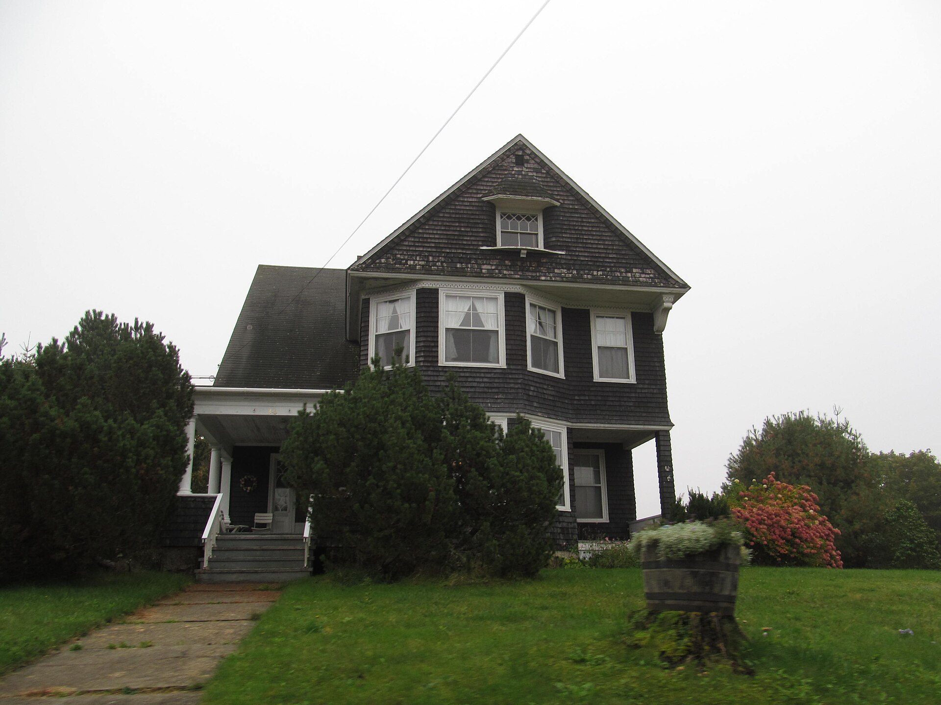
A quiet street in town
The unhurried pace that is the main reason people come back. Most of the village is residential, and it is easy to walk.
Doug Kerr · CC BY-SA 2.0 · Source ↗
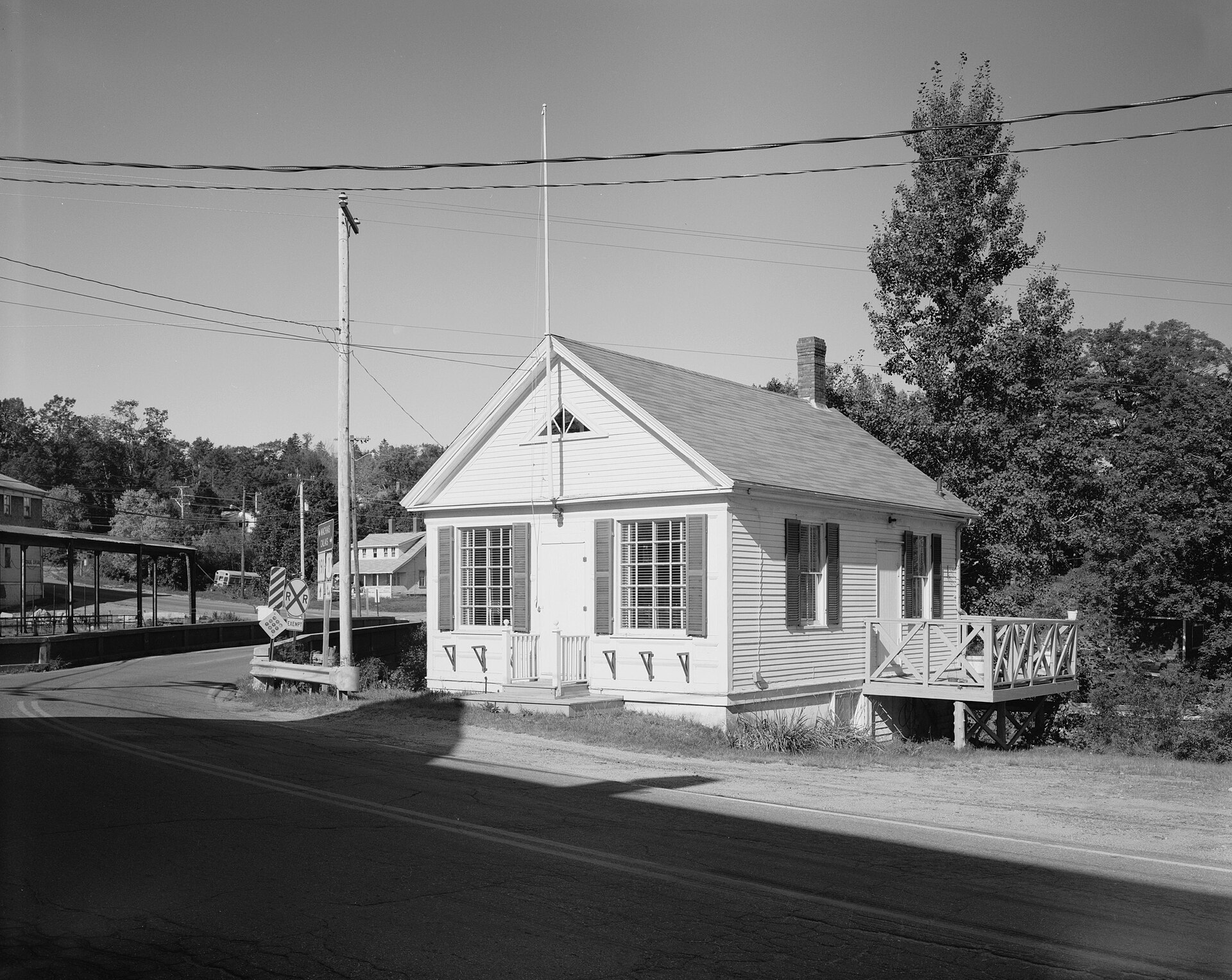
The village as it was
A measured record of the East Machias Post Office taken for the Historic American Buildings Survey in the 1930s — the best surviving document of early village architecture.
Brian Vanden Brink · HABS, Library of Congress · Public domain ↗
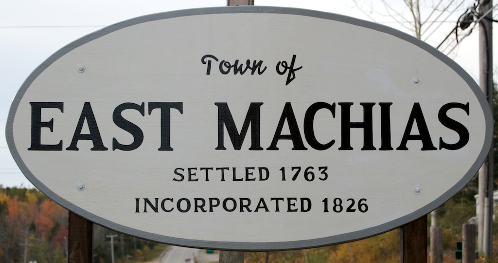
The town sign
The sign on the way in. If you are looking at this and wondering whether it is worth the drive, the answer is yes.
On the water
The river and the falls
The East Machias River runs through the village and out to Machias Bay. A few minutes south, the Machias River does the same over Bad Little Falls.
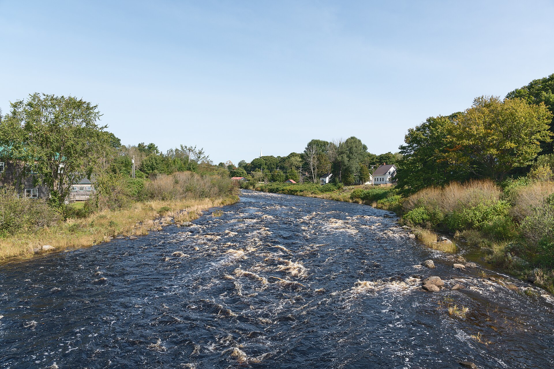
The East Machias River
Running over the rock just above the village. The river built the town — mills, then lumber, then ships — and it still runs right through the middle of it.
Giorgio Galeotti · CC BY-SA 4.0 · Source ↗
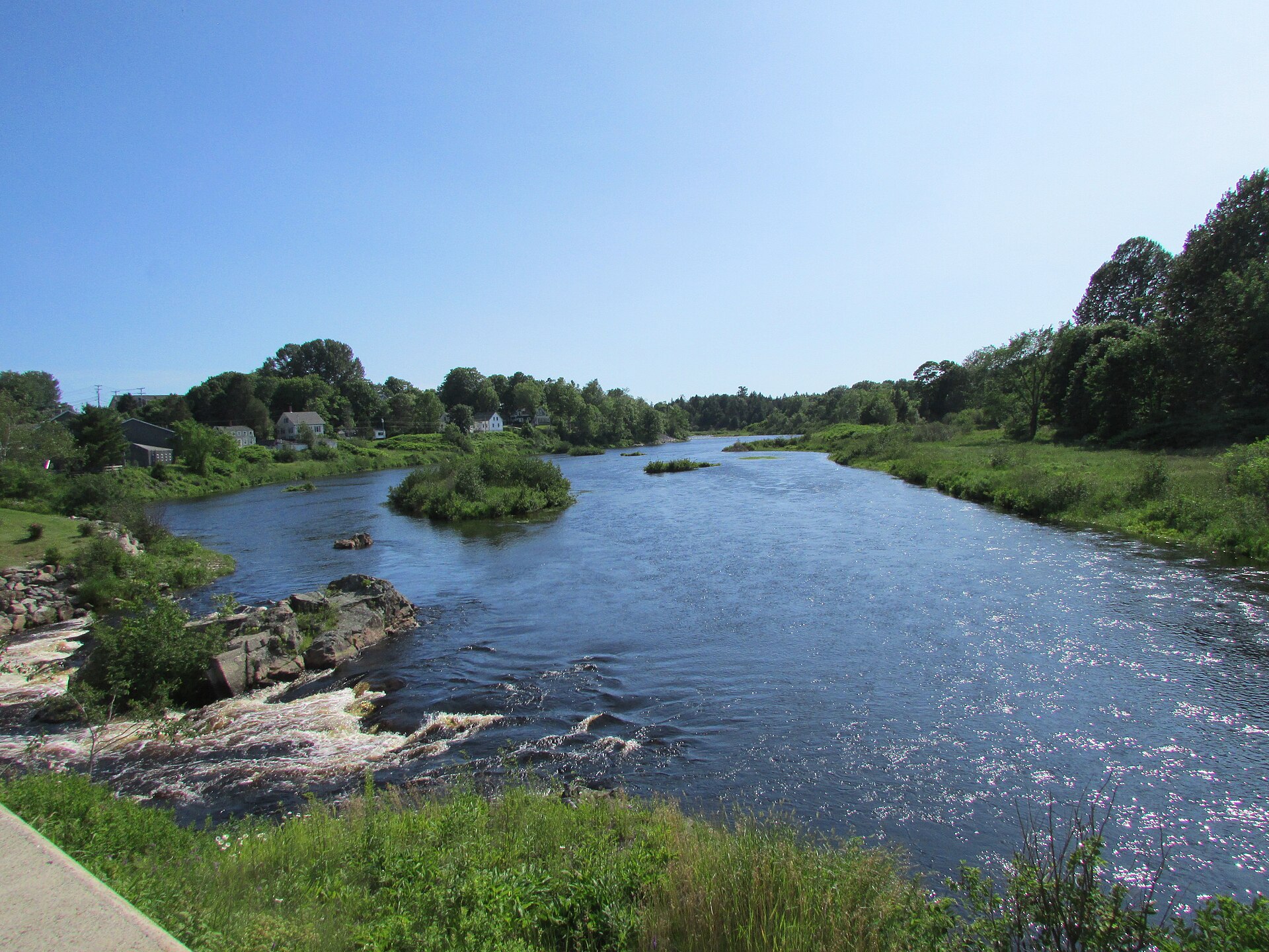
Bad Little Falls
The falls that gave "Machias" its name. A public park with a walkway right over the drop — an easy stop on the way south, and a good place to watch the river work.
DrStew82 · CC BY-SA 4.0 · Source ↗
The Bold Coast
Beaches and battlefields
This is what people drive for. Smooth pebbles that sing, a state park with two different waters, and the first naval battle of the American Revolution.
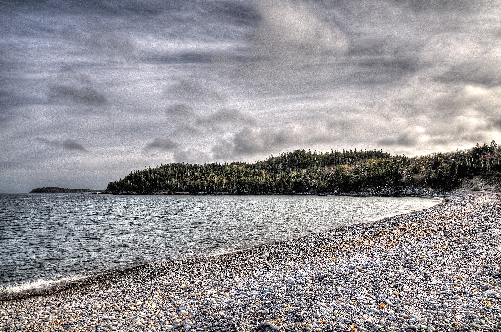
Jasper Beach
The "singing beach" — billions of smooth, coloured pebbles that click and rattle as the waves work them. Best on an incoming tide. About four minutes from the village.
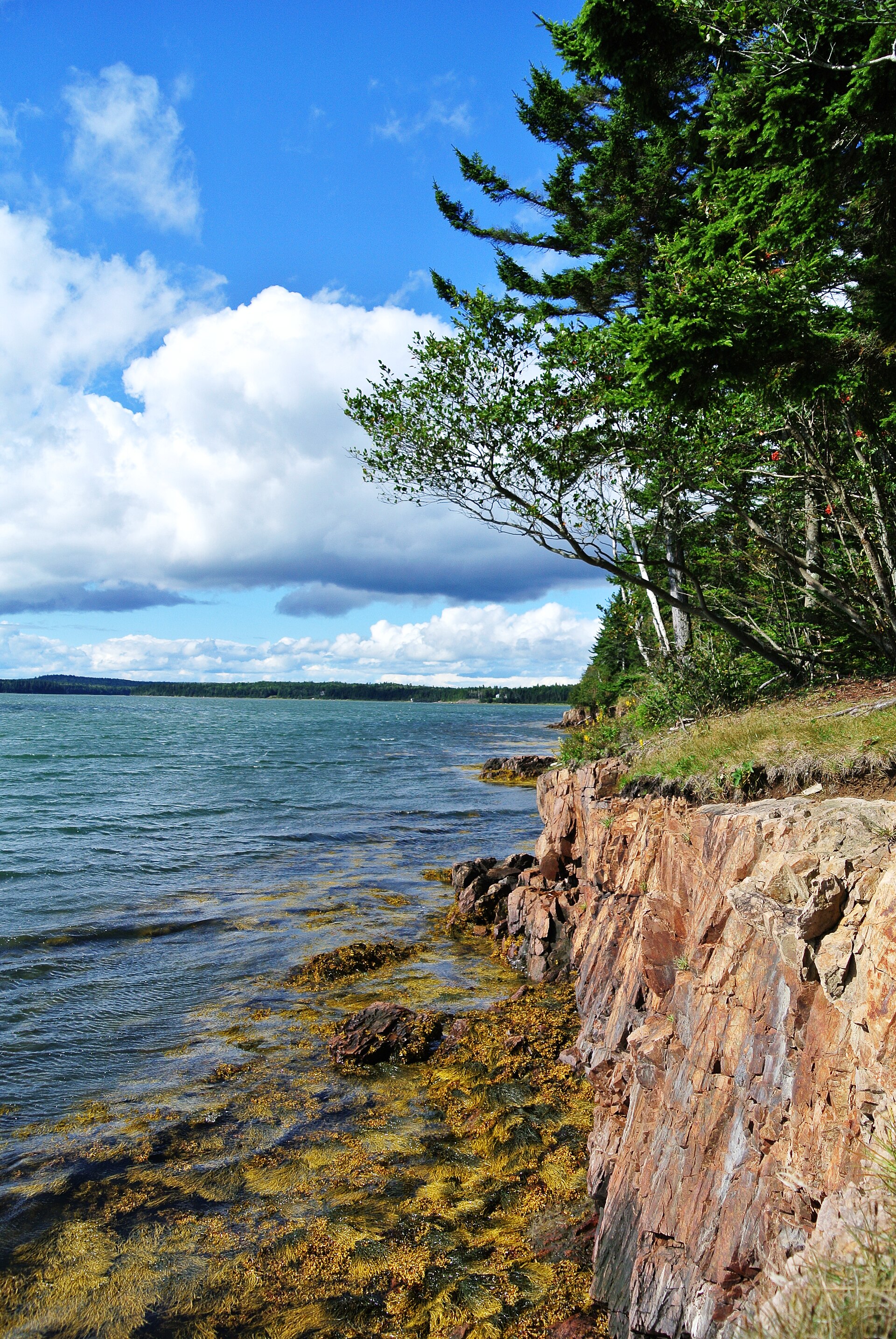
Roque Bluffs State Park
An unusual half-mile crescent of sand and pebbles on Englishman's Bay, backed by the warm shallow water of Simpson Pond. Glacial striations are visible in the bedrock at the east end.
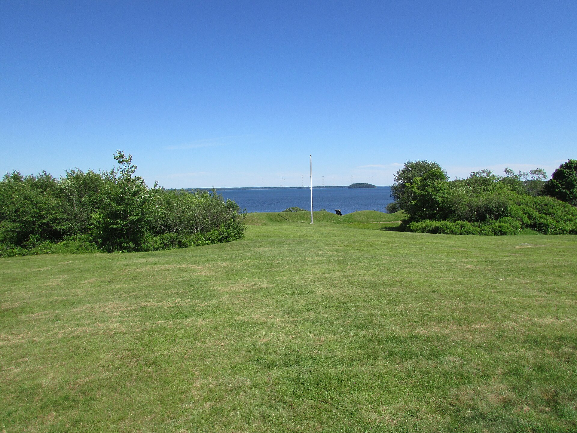
Fort O'Brien State Historic Site
Built in 1775 and rebuilt in 1777 over the site of the first official naval battle of the American Revolution. The earthworks still stand above Machias Bay.
DrStew82 · CC BY-SA 4.0 · Source ↗
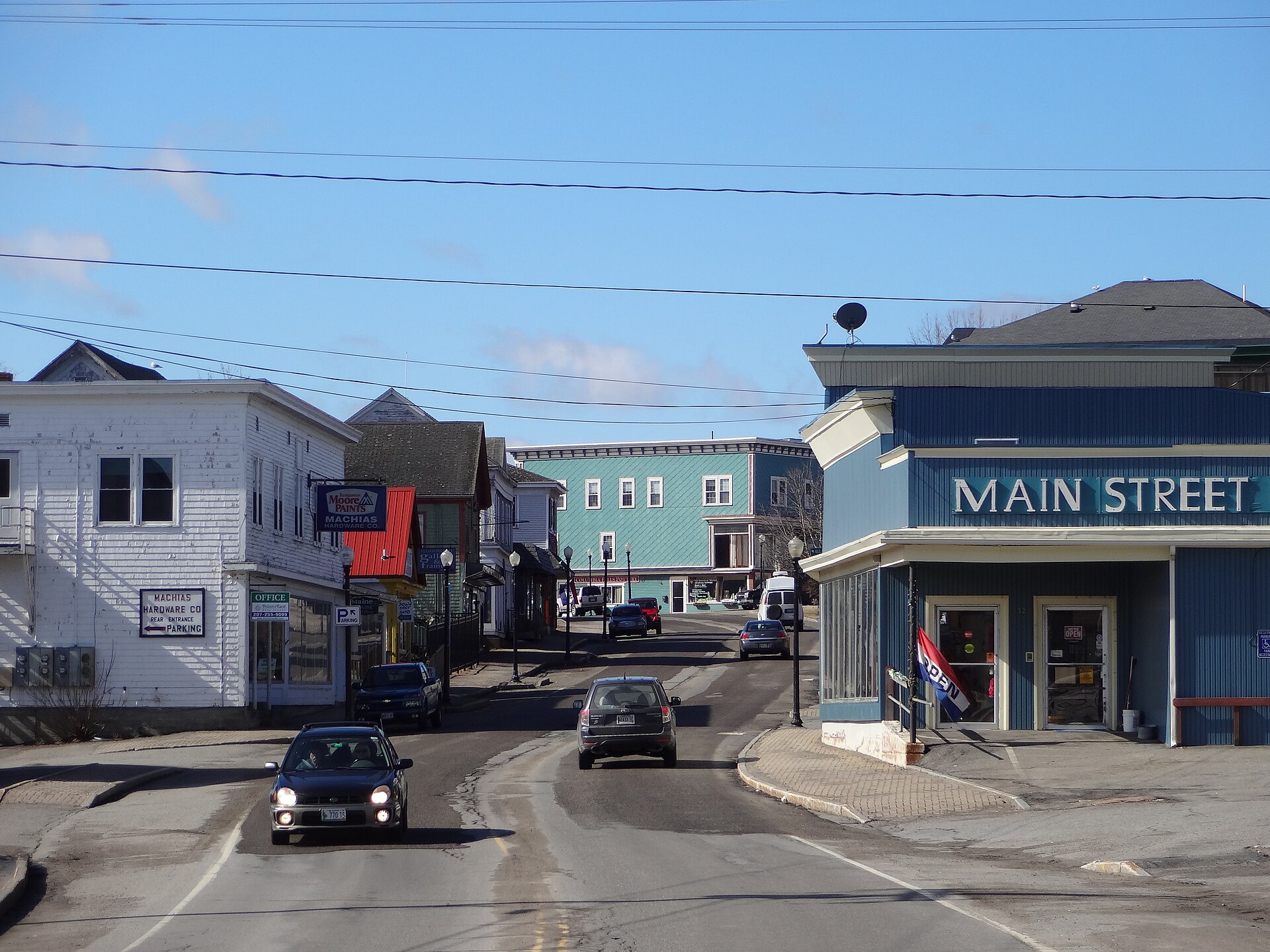
Main Street, Machias
The county seat, five minutes south. This is where most of the food, the shops, the library and the hospital are — and the hub for everything around it.
Zedmaster375 · CC BY-SA 3.0 · Source ↗
assets/IMAGE-CREDITS.txt.
Beyond the photographs
Now go and see it
The photographs are a poor substitute for the real thing. Here is where to plan the trip, find somewhere to stay, and work out what to do with the time you have.
Before you go
- Cell coverage is patchy on the back roads — download offline maps before you leave.
- Many rural businesses run summer hours only. Call ahead.
- Jasper Beach is best on an incoming tide; Roque Bluffs is better at low water.
- Ticks are real from May to September. Long sleeves and repellent.
- Most of the village is private property — please stay on the public streets and paths.